Explore Books on
remote-sensing images
1-24 of 193 Books

Computer processing of remotely-sensed images
By Paul M. Mather

Deep Learning for Remote Sensing Images with Open Source Software
By Rémi Cresson

Mapping Earth from space
By Robert Snedden,Mike Graf,Adam Miller
Planetary Remote Sensing and Mapping
Planetary Remote Sensing and Mapping
By Bo Wu,Kaichang Di,Jürgen Oberst,Irina Karachevtseva
Polarimetric SAR Imaging
Polarimetric SAR Imaging
By Yoshio Yamaguchi
Fuzzy Machine Learning Algorithms for Remote Sensing Image Classification
Fuzzy Machine Learning Algorithms for Remote Sensing Image Classification
By Anil Kumar,A. Senthil Kumar,Priyadarshi Upadhyay
Remote Sensing Time Series Image Processing
Remote Sensing Time Series Image Processing
By Qihao Weng
Image Processing and Data Analysis with ERDAS IMAGINE®
Image Processing and Data Analysis with ERDAS IMAGINE®
By Stacy A.C. Nelson,Siamak Khorram


GPS and GIS-based data collection and image mapping in the Antarctic Peninsula
GPS and GIS-based data collection and image mapping in the Antarctic Peninsula
By Richard D. Sanchez
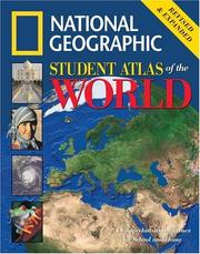
National Geographic Student Atlas of the World
By National Geographic Society (U.S.). Cartographic Division.
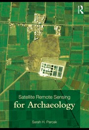
Satellite remote sensing for archaeology
By Sarah H. Parcak


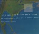
From Cape Cod to the Bay of Fundy
By Philip W. Conkling

Remote sensing of coastal aquatic environments
By Richard L. Miller

GPS and GIS-based data collection and image mapping in the Antarctic Peninsula
GPS and GIS-based data collection and image mapping in the Antarctic Peninsula
By Richard D Sanchez

IEEE/ISPRS Joint Workshop on Remote Sensing and Data Fusion over Urban Areas
By IEEE/ISPRS Joint Workshop on Remote Sensing and Data Fusion over Urban Areas (2001 University of Rome "La Sapienza"),Institute of Electrical and Electronics Engineers,ISPRS Joint Workshop on Remote Sensing and Data Fusion over Urban Areas (2001 : University of Rome "La Sapienza")
Commercial satellite imagery
By Bhupendra Jasani
The Earth observation handbook
The Earth observation handbook
By Stephen Ward
