An edition of A military and topographical atlas of the United States (1813)
A military and topographical atlas of the United States
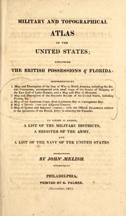
including the British possessions & Florida: comprehending 1. Map and description of the seat of war in North America, including the British possessions, accompanied with small maps of the Straits of Niagara, of the east end of Lake Ontario, and a map and plan of Montreal. 2. Map and description of the southern section of the United States, including Florida, &c. 3. Map of the American coast, from Lynhaven Bay to Narraganset Bay. 4. Map of Detroit River and adjacent country. 5. Map of Quebec and adjacent country; with the official documents relative to the operations of the British Army in reducing the Canadas. To which is added, a list of the military districts, a register of the army, and a list of the navy of the United States.
By John Melish
Publish Date
1813
Publisher
Printed by G. Palmer
Language
eng
Pages
44
Description:
An atlas and gazetteer describing parts of North America connected with the American War of 1812, with an appended roster of American commissioned officers in the United States Army as of November 1813.
subjects: History, Maps, Québec Campaign, 1759, United States War of 1812, Quebec campaign, 1759
Places: Canada, United States
Times: War of 1812